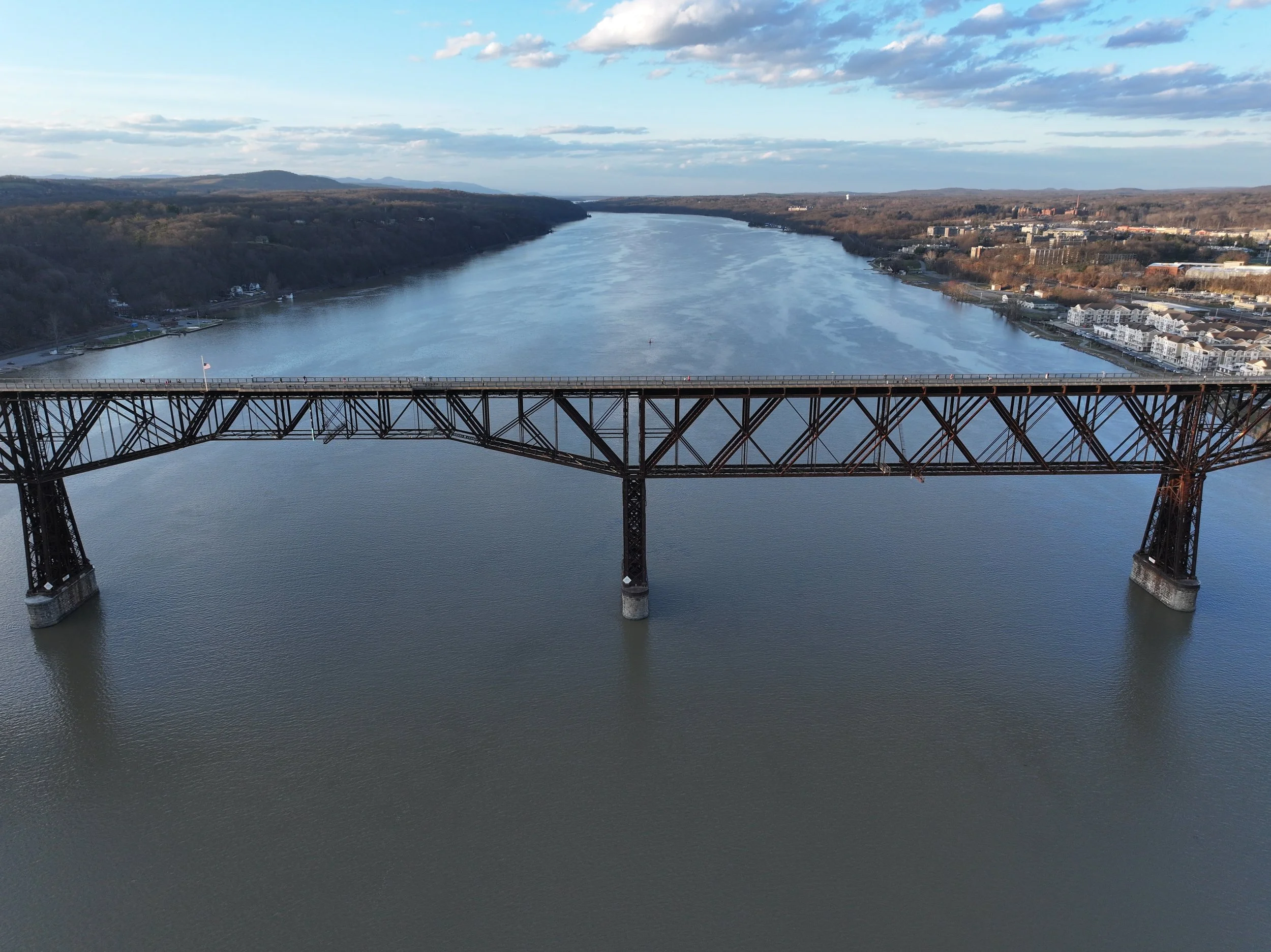
Commercial Projects & Orthomosaics
Gain valuable insights and data accuracy with our commercial drone services. From construction site monitoring to land assessment, our solutions empower industries to plan, analyze, and manage projects efficiently.
Key Benefits
High-Resolution Imagery: Capture precise, high-resolution visuals that deliver crucial insights for planning and analysis.
Progress Monitoring: Track project milestones and progress with regular, detailed aerial updates.
Improved Decision-Making: Make data-driven decisions with comprehensive visuals and data that reduce guesswork and improve accuracy.
Use Cases
Construction and Infrastructure: Regular site mapping to monitor progress, identify potential issues, and support safety compliance.
Land Surveying: Capture essential aerial views for topographic data and land management insights.
Environmental Assessment: Aerial data for environmental impact assessments, conservation planning, and habitat analysis.
Orthomosaics Coming Soon
Note: Orthomosaic mapping services are currently under development and will be available soon. Stay tuned for future updates on our expanded capabilities to support land assessment, agriculture, and detailed mapping.


